
We decided to have another three night break in North Lincolnshire, this would be ideal for our friend to join us but as it happened they had just returned from a five week trip and could not find the time to join us before Christmas.
Our destination was Burton upon Stather just north-west of Scunthorpe. The journey was fine and took us along the old Roman road, Ermine Street, from Lincoln up to the M180 where we deviated to Scunthorpe, followed the ring road and headed for Normanby where there is a country Park, but we could not visit today and continued to Burton upon Stather, that stands on an escarpment above the river Trent as it wends it’s way to join the river Humber.

Brookside Caravan site is at the end of a road near the old Burton Shipyard. The shipyard is long gone, but it did produce a total of 341 ships of various sizes between 1788-1892. The present Wharf opened in 1970 and can handle ships unto 3000 tons and it has a total annual tonnage of about 200,000.

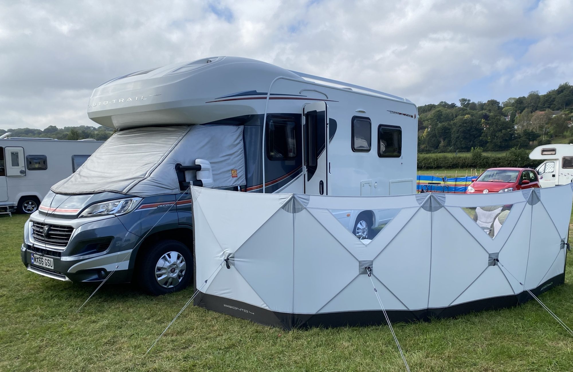
The campsite has won awards and it is very well laid out and maintained to a high standard. Our only issue is the free wi-fi that is not strong enough for even emails.

We settled in, set up Iona on the ramps, filled her up with water etc. After lunch I suggested we go for a walk. We found our way past the Wharf and walked along the river for about a mile but with the wind getting up we turned around and headed back. We did not go straight ‘home’ but we walked to the local pub to have a look and then found a bridleway up towards the back gates of the campsite.

The path went on uphill so we followed it , Sue found a swing and then we continued to the top of the escarpment and we found a metal bridge over some sort of man-made stream.
We headed back down to Iona but made a note of the other paths available for tomorrow. Time for a beer and Sue is cooking a prawn linguine.
Day 2;

We set off via a path to the top of the escarpment, the idea was to walk to Burton upon Stather village. When we got to the metal bridge that we found yesterday we turned left towards Walcot along what is called the Cliff Edge. We passed the viewing spot and the Beacon.

There was a path that led down to the river where there is a Tank ramp, this was built during the war to test launching amphibious battle tanks. The tanks were used as part of the D Day landings on the french coast but a lot of the tanks sank when they were swamped by the rough seas. The path is very overgrown so we gave it a miss and carried on our walk.

We got a bit carried away and walked all the way to Walcot, past Walcot Hall and then onto Alkborough.


At Alkborough we found a caravan and CL site that also had a Tea Room. Unfortunately the Tea Rooms were closed so we headed for the church. An interesting old building that had at one time had an extension added. It was strange that there were no grave stones set out around the church.


We headed for a footpath back to Burton and on the way we came across the famous Alkborough Turf Maze and Beacon that looks out over the flood plain known as the Flats. From here we headed back eventually joining the path along the Cliff Edge and home. When we finally got back to Iona we had walked over 6.5 miles.

This afternoon was spent in Iona being rocked back and forth by some 45mph winds. The slow cooker had done it’s job and we had beef bourguignon and sour dough bread.

Day3;
Today we headed back up the footpath to the metal bridge and then we walked the 100 yds to the beacon. Here there are steps going down the cliff but they look disused and abandoned. According to the map the path takes you to the Tank Ramp. We made it down the first set of steps but the path was then blocked with brambles. We managed to get around the obstacle and continue along the path but then it became far too overgrown. We retraced our steps and saw that there was a Private Keep Out sign thrown in the bushes. The heritage site is no longer available to access.

Once back at the top we followed the path into Burton on Stather and the church and village green. Here on the village green is a unique war memorial in the form of a large piece of granite with an inscription of the names and regiments of the men who died during both world wars.

We left the green and headed back home along the road that lead down the hill to the campsite. The wind was strong and over 40mph according to the forecast. We got within 300yds of the entrance to the campsite and the heavens opened with driving rain and wind. Within a couple of minutes our legs were soaking but our jackets kept our top halves dry.
Back at Iona we had to change nearly all our clothes, and as we did so the wind dropped and the sun came out. If only we had stopped at the pub in the village for a drink we would have missed the downpour.
The afternoon was spent in the comfort of the van, Sue continued with her knitting project and I read my book for a while. Tea tonight is a Chinese style slow cooker recipe with rice.

Day 4;
Heading for home. We were making good time. On entering Scunthorpe the sat nav had a nervous breakdown and stopped working at a critical time, just before a roundabout which I did not recognise.
I took the wrong road and it lead us down a dead end into the town centre. Luckily there was a road to the right. It has traffic calming measures so it was a bit like a slalom. Eventually we came to a ‘T’ Junction where I turned right to get back to the original road.
After a few false alarms we found a sign to Lincoln and we were soon back on track and we were joined by the sat nav. The power cable was not plugged in properly and it had run out of battery. Sue plugged it back in and we were soon being told where to turn.
Trip 20, 125.7 miles, 24.8 mpg, 30 mph, 4hrs
