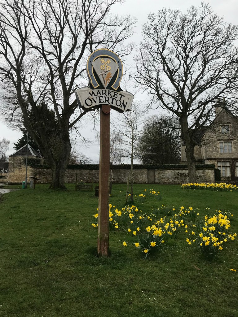
Trip 3: The Lodge Trust, Market Overton.

The first recorded mention of the village is in the Domesday survey of 1086 where it is simply called ‘Overtune’. The name is a combination of the Old English ‘ofer’, meaning ridge, and ‘tun’ meaning farmstead or village. Thus ‘the settlement on a ridge’, a perfect description of the village’s location.
The first warrant for a market to be held at Market Overton was in 1267.


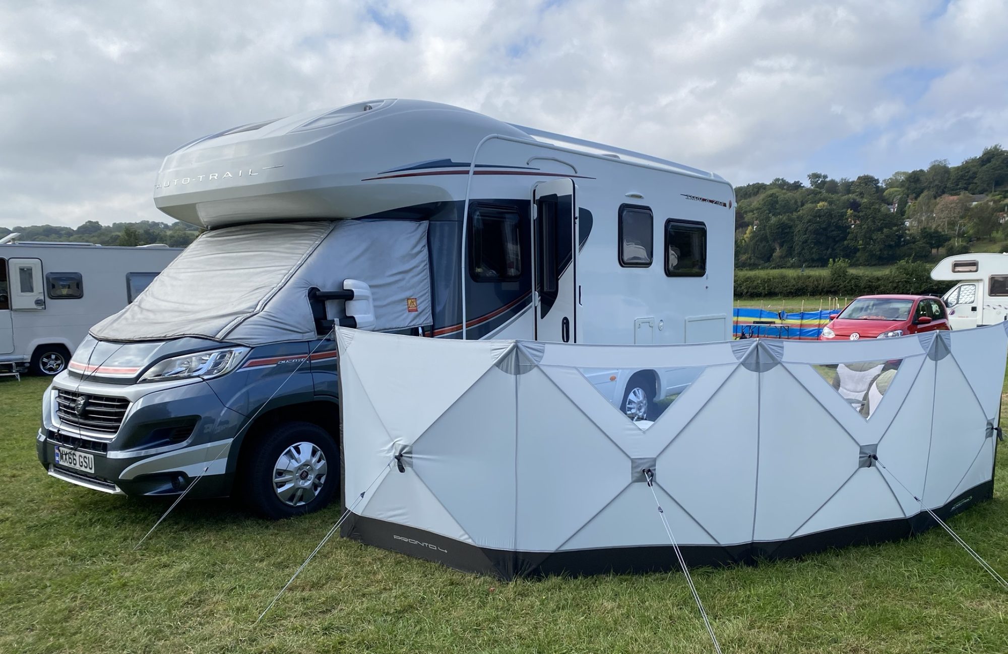
Anyway enough history for now. The Lodge Trust is a charity that has a number of accommodations for 30 people with learning difficulties, and then they also do respite care. The site has a cafe and parkland for visitors and there is a small Caravan & Motorhome site and a separate Camping & Caravan site.
We arrived after a short journey and without the need for levelling ramps we were soon set up and eating lunch. I had lost the email from the reception with the wifi password but after a quick phone call, it was pouring with rain, we were soon online.


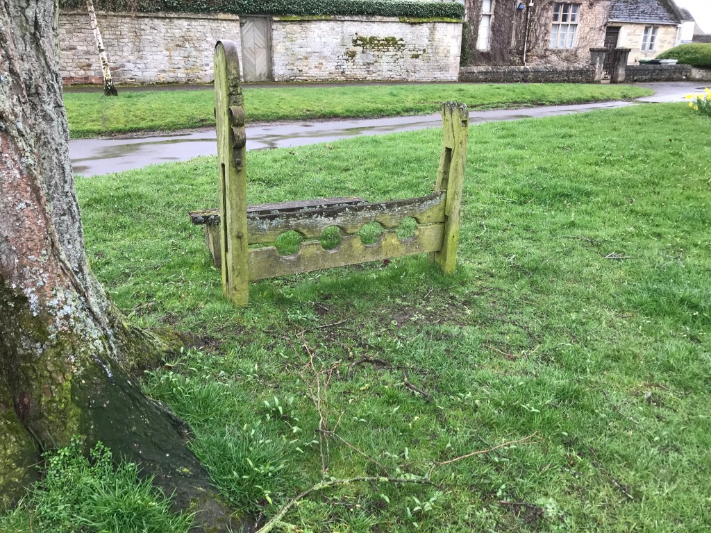
Once it had stopped raining we set off to just walk around the parkland for some fresh air but it was not enough. We had a printed walk around the village that named certain houses and who lived where in times long gone, but we left it in Iona. We came to the village green complete with Stocks and a Whipping post.

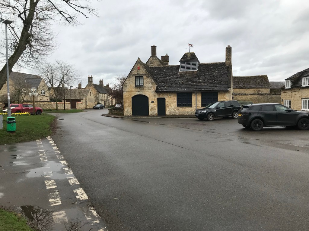
Not to be put off we walked into the village, I was heading for the pub but it did not open until this evening. We walked onto the Church where we saw the sundial donated by Sir Isaac Newton, apparently his grandmother lived in the village.


Our walk took us around the village and along a green lane back to the campsite. We had completed our 10,000 steps after all. Tomorrow we head for the Oakham canal.
Tonight we have a Curry for tea.
Day 2:
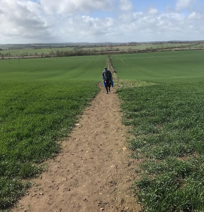
I had planned a circular walk today of 2.5 miles but it did not work out like that. After a mile the planned route failed at a farm yard, so we retraced our steps and headed to the Oakham Canal, or what is left of it. It had now started to rain which continued until we eventually got back to Iona in 3 hours time.
The route of the canal can be seen but there is only odd pools of water under thick overgrowth which is understandable when you know that use of the canal started to decline in 1877.
We left the canal and followed a farm track to a road and then we followed an old drovers road to the next footpath across a field and up a steep path to the local church and back into the village and home.
We were pretty wet by now but we had walked over 5.8 miles. Tomorrow I have a cunning plan to do 4 miles but ofcourse that may change.
Day 3m
Today I had a walk planned and we set off through the village to look , for ironstone lane . We found it just past a row of quarrymen cottages. The quarry was behind the cottages but it is now the village cricket ground. Ironstone lane was signposted as a bridle way and it lead to an industrial estate.
Here the bridleway seemed to disappear so I asked a couple of men in high vis jackets if they knew where is went. Apparently it went straight through the industrial units so we followed the road, avoiding the forklift trucks and lorries until we came to fields.
We followed my planned route and we came to pathway markers. We walked around a wood and the path then took us through a small wood. The path was more mud than path as it had been churned up by people ,horses and dogs. Eventually we came out onto field headlands again but the track we were looking for was nowhere to be found.
We followed the horses tracks around a large field but then the path turned off to the right away from our destination. I made the decision to follow the route of the Oakham Canal. The remnants of the canal was hidden between thick hawthorn hedges but in places you could see water in the canal, although it was congested with reeds.

We followed the canal to a point where it disappeared into fields, this lead us to the drovers road that we walked yesterday. Unfortunately for us this meant climbing the long hill again heading upto the local church and the village of Market Overton.
The passed the church and followed the road back to The Lodge park where we sat out in the sun and ate our lunch. It was a pity the cafe was not open.
The walk I had planned was for 4 miles but with the diversions we had to make it turned out to be nearly 6.5 miles.
