 Trip 3:
Iona heads for the Coast
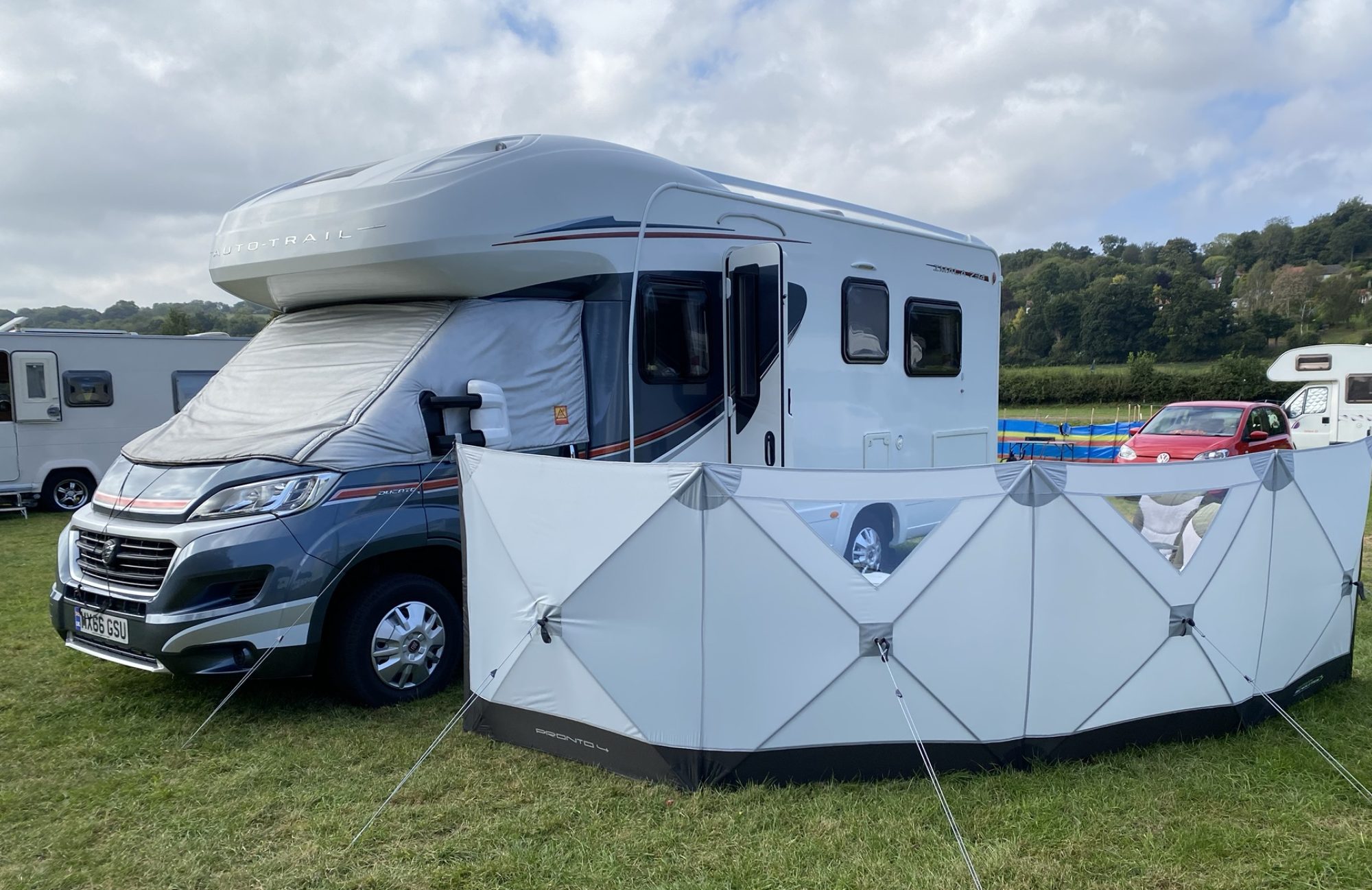
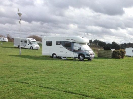
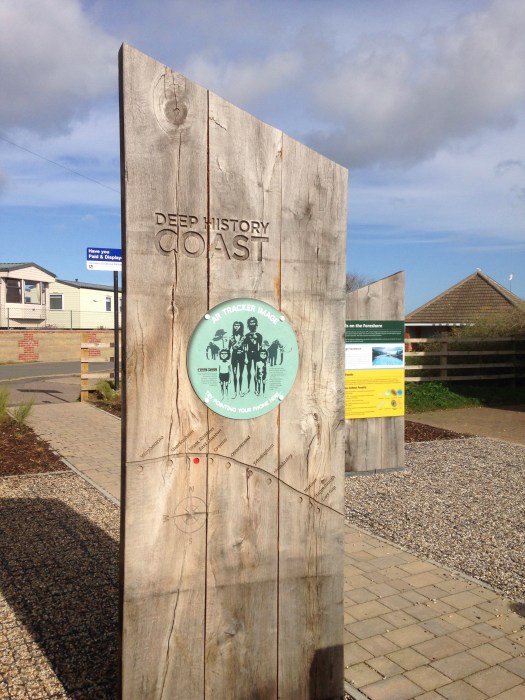
Woodhill Campsite, East Runton, Norfolk. March 10th 2020
The site is not very busy and our pitch was near a water and waste water point and next to a wi-fi mask so we got the best of everything.
It is very windy and the motorhome is swaying in the strong gusts of wind but that is due to calm a bit later in the early evening. We will have lunch and then start exploring.
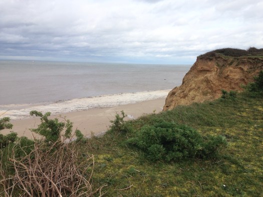
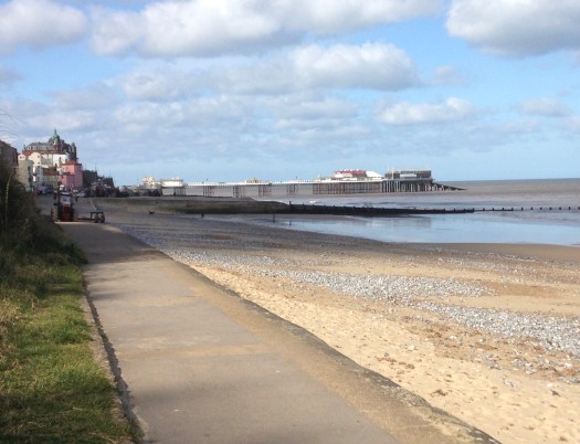
We walked along the cliffs to West Runton where we could get down onto the beach. We then followed the beach back the way we had come towards Cromer. We could see the Pier in the distance with the Lifeboat ramp.

We walked as far as East Runton where there were steps upto the village. We then followed the main road back to the campsite. It was a much shorter walk but not as scenic.
Day 2:
The wind dropped overnight although it is due back from midday so this evening may be a bit rocky. The high tide this morning is at 9.00am so we will start our walk once the tide has turned and walk along the beach to Cromer.
We walked to East Run-on and then down the slipway to the beach and headed towards Cromer.
The tide had turned and there was plenty of beach to walk along.
The first stop was the Pier and although there were not a lot of places open there were still a few people about.
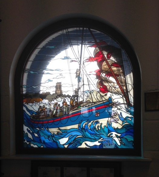
We had seen the lifeboat launch as we walked towards Cromer but we thought we would have another look in the boat house. The last time we were here was high summer and it was very busy, today there were very few looking around.
After the Boathouse we headed along the beach and then made our way back into town.
When we reached the top of the cliffs looking down at the pier we saw the lifeboat was returning so we watched as it was winched back up into the boathouse.


We made our way through town and onto the beach where we stopped to eat our packed lunch.

Once back at East Runton we left the beach to follow the footpath home stopping on the way at The Fishing Boat for a pint.
Day 3:
Today the weather is dry but windy so we are going to walk to Sherringham. We set off along the cliff path to west Run-on where we could get down onto the beach, however the tide had not gone out far enough so we were forced to use the cliff top path.

The cliff undulates along this part of the coast and in the distance we could see a large hill. before the hill is the Beeston Nature Reserve.

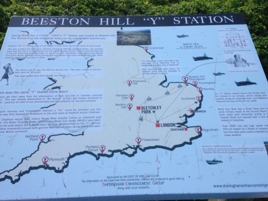
We soon came to the hill which is known as the Beeston Bump. Sue counted 69 steps to the top. With such a good vantage point it was used in the second world war as a radio station and linked to Bletchley Heath where the signals were decoded and plotted to show enemy E Boats and other warships.
Once at the top you look down onto Sherringham, The way down was much easier and we came to the town and walked about, it was a lot quieter than when we were here a few years ago in the summer. We found a Tesco and topped up on beer because we are going to stay another night.

When we left Sherringham the tide had gone out enough for us to walk back along the beach which was a lot easier than the Cliff path. It was interesting to see the cliffs from the beach and we were able to look at the original wooden sea defences that were still intact in places but the sea had taken it’s toll on most of them.


We got back to Iona after about a three hour walk. The wind was blowing and the van was rocking so it could be a long night. For Tea we have Lamb Shanks and vegetables.

Day 4:
Having decided to spend an extra night here we are going inland to explore the heathland.
We set off mid morning and walked to East Runton where we followed Twain’s lane to the first footpath. With the map app on my phone we chose a direct path up to the top of Incleborough Hill. The climb was steeper than it looked and my heart rate peaked at 142bpm.

The views were stunning and after a rest at the top we made our way down via a route that took us past a Camping and Caravan site. It was not open so we could not get a proper look around.
We left the site and followed a path to the Golfcourse. Here we changed route and followed the road to West Runton. 
We made our way to the quayside and decided to walk along the beach to East Runton where we could leave the beach and head back to the campsite.

At East Runton we sat on the beach and ate our packed lunch then we made our way up the slipway to the village and followed the road home. We had walked 5.75 miles over three hours.
